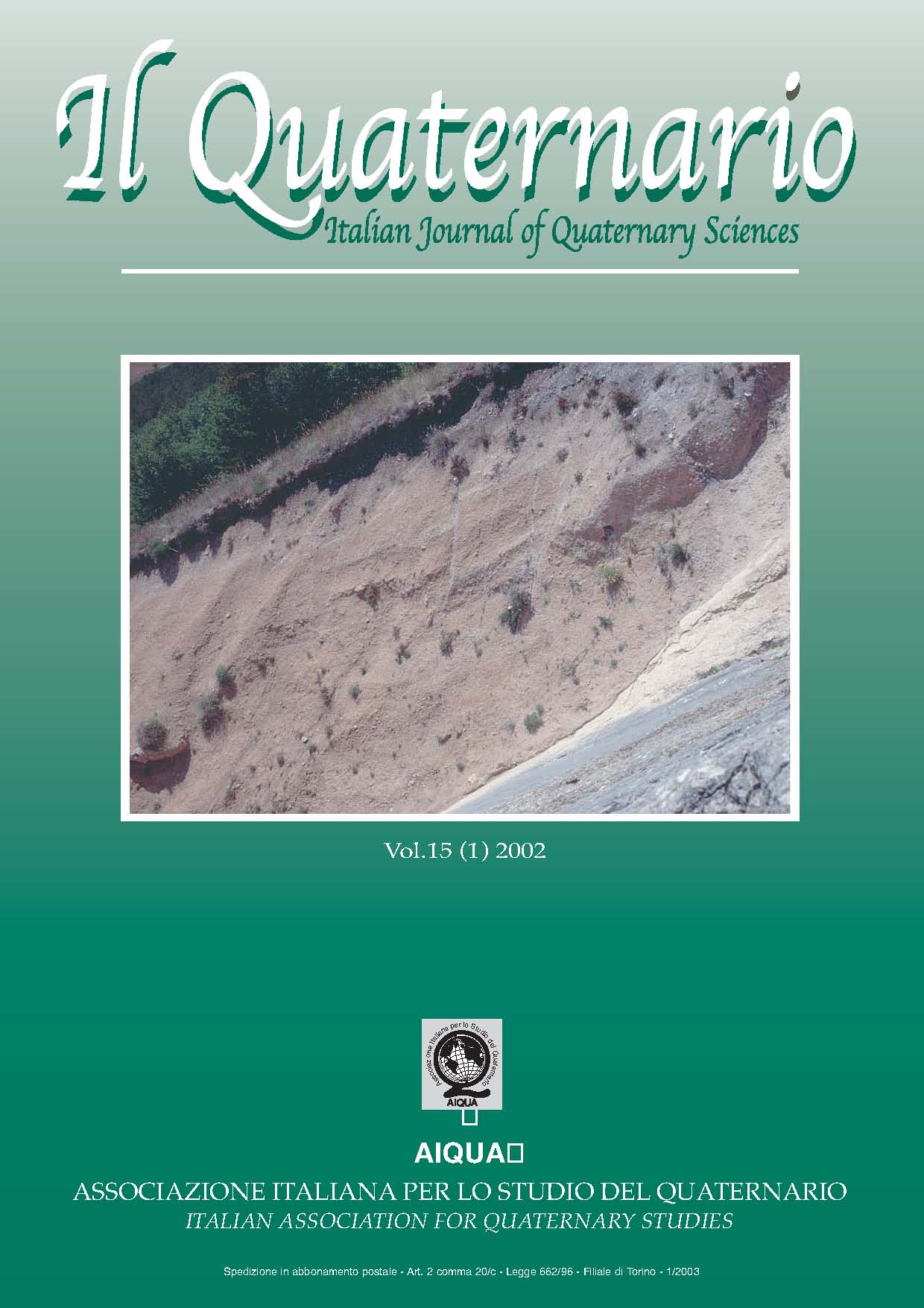
L’INTERPRETAZIONE DELLE SUPERFICI RELITTE NELL’APPENNINO CENTRALE: IL CASO DELLA ZONA DI COLFIORITO (prov. Perugia e Macerata)
Main Article Content
Abstract
The study of the remnant landsurfaces is of considerable interest with regard to the reconstruction of the geological evolution of the
chain area. The methodology available for the use of these surfaces is still rather approximative, as is shown by the contrasting results
recently obtained by two groups of researches in the area hit by the Colflorito earthquake (September -October 1997, Mw 5.6-6.0) in
the high valley of Chienti, corresponding to the central part of the divide of the chain in the Umbria-Marche region. This contrast mainly regards the number of landsurfaces and the area distributions of the remnants; it is in the main part connected to the genetic models assumed and to the criteria followed in the delimitation and correlation of the remnants.
A critical examination of the geological bibliography regarding the planation surfaces of most of the central and southern Apennines,
has brought our attention to the summit surfaces and to the terraced flights of the remnant surfaces.
In relation to the first argument it has been highlighted that it is not very frequent that the adjacent remnants are so near to prove directliy to belong to the same planation surface. In most cases this belonging is affirmed on the basis of correlations founded on the summit positions of the remnants and on the altitude which is often relatively even. This correlation must be evaluated with great caution in that, not only is it without adequate support, but it lends itself to hard to believe deductions. This has been recently proposed on the extension of the same summit surface to all the Apennines. An alternative hypothesis can be proposed, founded on an evolutionary model, according to which the strips of the summit surfaces can be referred to not just one morphogenetic event, but to a group of further events, occurred in all the previous geological evolution. In relation to the terraces flights is formulated the hypothesis that the usually modest strips, that constitute them, do not correspond to the remaining traces of large valley bottoms but of that which remains of planation surfaces in correspondence to a group of more modest incisions attributed to the same level of deepening network.
Both evolution schemes proposed have noticeable implications with regards to the tectonic interpretation of remnant surfaces. The first leads us to believe that the operation of obtaining information on the extent and the amount of the tectonic uplift from surfaces altitude, must be limited to only the areas where concrete correlations can be proposed. The second, considerably reduces the importance of the present altitude of the surfaces in terraced successions.
On the basis of these evolutionary schemes and of a re-examination of the criteria for delimitation and correlation of the observable strips, a study of the area epicentral to the Colflorito earthquake, including the plateau of the same name was carried out.
This study has led to the definition of a succession of seven distinct planation surfaces carved into a group of summit surfaces, referred to Pliocene. With regards to this group, the only possible correlations are those among the remnants maintained in the M.Fema - M.Cavallo sector. Some of the most important sufaces to be mentioned are:
- the M.Tito surface widely developed in the Colfiorito plateu and in correspondence to the present Chienti valley, referable to Pliocene
or to the initial Pleistocene.
- the Rasenna surface present only in the Colfiorito and M.Lago plateau, that cut sediments having an age of about 420.000 years
From the distribution of the strips observed, other tectonic data has been collected that regard:
- The start of the uplift that would result referable to an advanced Pliocene, and thus probably more recent than that which had been
previously hypothesised.
- The chronological collocation of the start of the activity of the main faults that seem to represent the superfcial expression of the
sismogenetic structure responsible for the earthquake.
Article Details
Section

This work is licensed under a Creative Commons Attribution-NonCommercial-NoDerivatives 4.0 International License.
The Author grants usage rights to others using an open license (Creative Commons or equivalent) allowing for immediate free access to the work and permitting any user to read, download, copy, distribute, print, search, or link to the full texts of articles, crawl them for indexing, pass them as data to software, or use them for any other lawful purpose.

